Evanton to Clach Goil
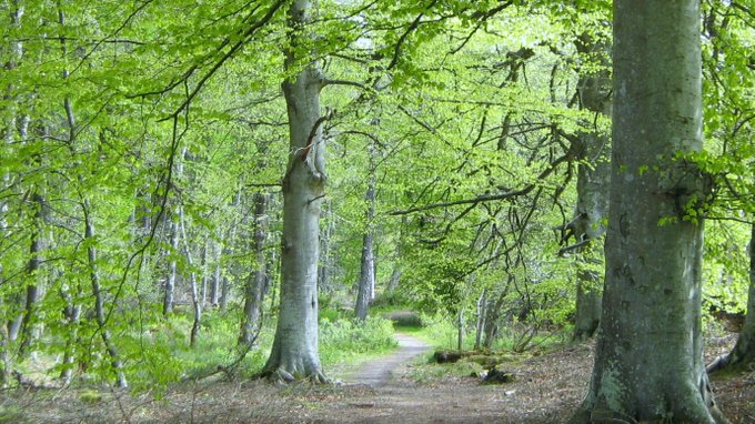
It was a mostly level walk to Alness, with a brief stroll through a beech wood.
In the village I bought food and had a second breakfast seated on a bench. I cast a critical eye over slouching passers-by, Sunday-morning-slow as they bought their newspapers and cigarettes.
The morning was warm and still as I climbed slowly from the
coast into Strath Rusdale. The dead-end road carried little
traffic, but this was not a typical day. Two elderly sisters who
drew me into conversation told me how the timber trucks roared
along the single-track road most days. I was thankful for the
peace and quiet.
Life in the Strath must have been isolated for previous
generations, but it would not have been lonely. I passed
schoolrooms and a church, the latter still in use, and the
number of houses on both sides of the valley suggested a
significant population in earlier years.
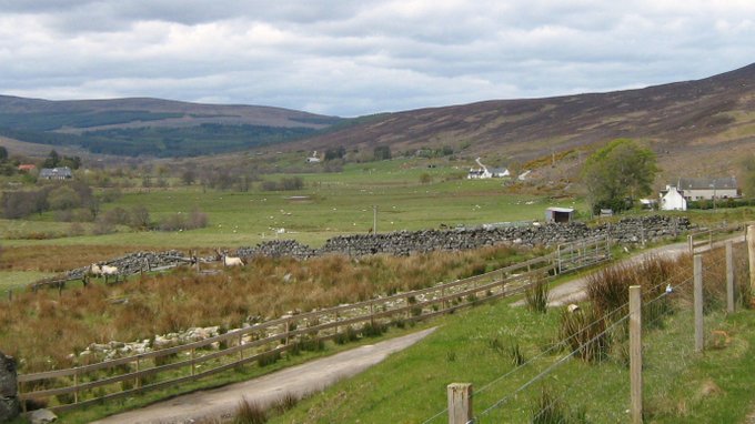
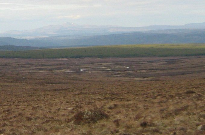
Strath Rusdale. My route goes to the right of the distant trees
At Braentra, which is little more than a couple of houses on the edge of the forest, I sought a way onto the hill. I followed the hint of a path beside the burn but then had to cross the water to a gate through a towering deer fence. I held the rucksack high above my head, there being no turning space within the kissing gate. Next I had to cross the burn again and find a route under the Caledonian pines, avoiding the grass tussocks that separated the pines from the younger mixed woodland to my right. I kept checking the compass and made my way slowly up the slope towards open moorland and another huge deer fence. The gate was nailed shut.
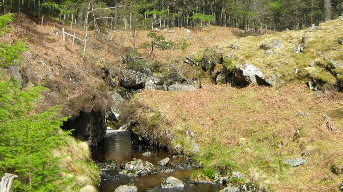
“…the hint of a path beside the burn…”
This was no small challenge, even if I’d not had a heavy rucksack. I looked along the fence to my right and saw another gate. Crossing a stretch of unpleasantly boggy ground, I could see the gate was wide open. Grateful for that, I set the compass towards Clach Goil and headed across the trackless expanse of grass tussocks, sphagnum moss, algae and heather.
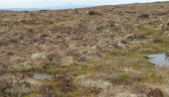
Struggling towards Clach Goil
I’d chosen the route from that fine book “Scottish Hill Tracks” which is published by the Scottish Rights of Way and Access Society. I’m pretty sure I was on or close to the specified way, but I never saw evidence that others had walked before me. Visibility was good: behind, the Cairngorms glistened in the late sun, whilst ahead the convex slope of the featureless moor forced me to depend on the compass. The walking was slow and tiring, and I wished I had the speed and agility of the deer that bounded away when I came too close.
Clach Goil is a modest block of natural rock, maybe less than two metres high, and it looks man-made. It is the only landmark on the traverse of this soggy, rounded spur of moor, but it is visible from both sides of the spur in clear conditions. In mist, accurate navigation would depend entirely on compass work or a more modern substitute if you trust batteries and technology. I felt encouraged when the rock came into view and even happier when I started heading down towards my camp site, a patch of grass near a derelict dwelling at the confluence of two burns. In the far distance I could see the hazy outline of Ben Klibreck (962m). I picked my way through the tussocks and the heather. The sun continued to shine on me as I pitched my tent and cooked my meal.
 The
camp site is by the burn, with Ben Klibreck in the distant haze
The
camp site is by the burn, with Ben Klibreck in the distant haze