Pennine Way 2013
Friday 26th April 2013 – Bellingham to Byrness
After a long day, plan a short one. The walk to Byrness is short, but ground conditions are variable. Experience told me that the ascent to Brownrigg Head would be a grim slog through a bog, followed by a soggy drag along a generally flat tract that provides no joy and frustrates the walker, especially one who knows of a better alternative.
Way back then… The Ramblers’ Association leaflet described the original route going east of Padon Hill towards Rochester, thereafter following the south bank of the River Rede as far as the bridge at Blakehopeburnhaugh. I imagine that might have been as bad as the present Padon Hill and Brownrigg Head section. In 1963 we opted for the Gib Shiel route, though I can’t remember why. Maybe we’d received local knowledge which saved us some grief. What we hadn’t expected was the sight of Redesdale filled with conifers: our old maps showed no sign of the massive plantations. Nevertheless, we walked unerringly to Byrness, delighting in what, to us, was the rare sight of a roe deer.
After a light breakfast and a visit to Bellingham’s excellent
bakery for sandwiches and sly cake (a nourishing local
speciality that I first tasted four years earlier) I climbed the
hill through Blakelaw Farm to a green pasture overlooking the
North Tyne valley. Then it was onto the moor under a blue sky,
the chilly breeze hinting that my day might not remain perfect.
The boggy path led me past Hareshaw House to the B6320 road.
On the slope of Lough Shaw I chatted with a speed merchant
trotting south from Byrness. When I enquired about route
condition, he fulminated against the bog on the descent from
Brownrigg Head and for another mile on the west flank of Padon
Hill. That settled things for me: I’d stick to the Way over Deer
Play and Lord’s Shaw, but then I’d go via Gib Shiel to save
myself the pain that brings no pleasure, returning to the Way
where it joins the forestry road.
The weather on Lord’s Shaw turned fractious, hitting me with a
vicious hail shower. I turned my back on it and waited for the
clearance before plodding steadily to and through the forest. I
felt content that I was into the final stages of my walk. At
Blakehopeburnhaugh another hail shower struck, this time with
thunder. After sheltering for a few minutes, I bypassed
tree-harvesting operations and finished my day parallel to the
A68 road. Joyce and Colin welcomed me to Forest View Inn,
relieved me of my boots and wet outer garments, and gave me a
pot of tea while we swapped news about the Pennine Way and some
of its more dedicated adherents.
Way back then… In 1963 we stood on the doorstep of the Byrness
Hotel as the licensee scrutinised our trail-worn appearance.
After a long silence he agreed, with obvious reluctance, that we
could stay the night. We were lucky: we knew of no other
accommodation for miles. Within two years of our odyssey the Way
was officially launched, and YHA began opening hostels to serve
the rush of Pennine Wayfarers. The self-catering hostel at
Byrness, based on two houses in a terrace just off the Way, was
a much needed addition.
Early in the twenty-first century YHA decided it had to balance its books by selling many hostels, including the haven at Byrness. Enter Colin and Joyce Taylor. They bought the run-down establishment and gradually turned it into the Forest View Inn, an invaluable boon to anyone walking in the Cheviots and particularly those hiking the Pennine Way or Lands End–John o’ Groat’s (LEJOG) and its opposite, JOGLE. The hosts understand the needs of walkers. They offer sound advice and local knowledge. All rooms have private facilities, and most are en suite. The food is splendid, nourishing home cooking. The hand-pulled locally-brewed beers are all excellent – I checked them, twice. If you were to suspect that I like Forest View Inn, you’d be right!
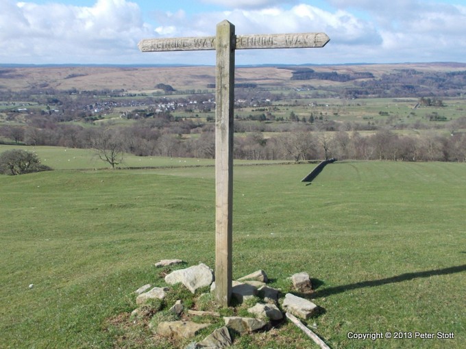
Left to Bellingham (seen in the distance) and Right to Byrness

Bleak moors north of Bellingham